Geology 9601
Geology 9601: Regional Field Geology
**Not planned to be offered 2026 - 2027**
National mineral deposits field course with industry support in development for 2027-2028.
Location: Nova Scotia and New Brunswick
Instructor: TBA
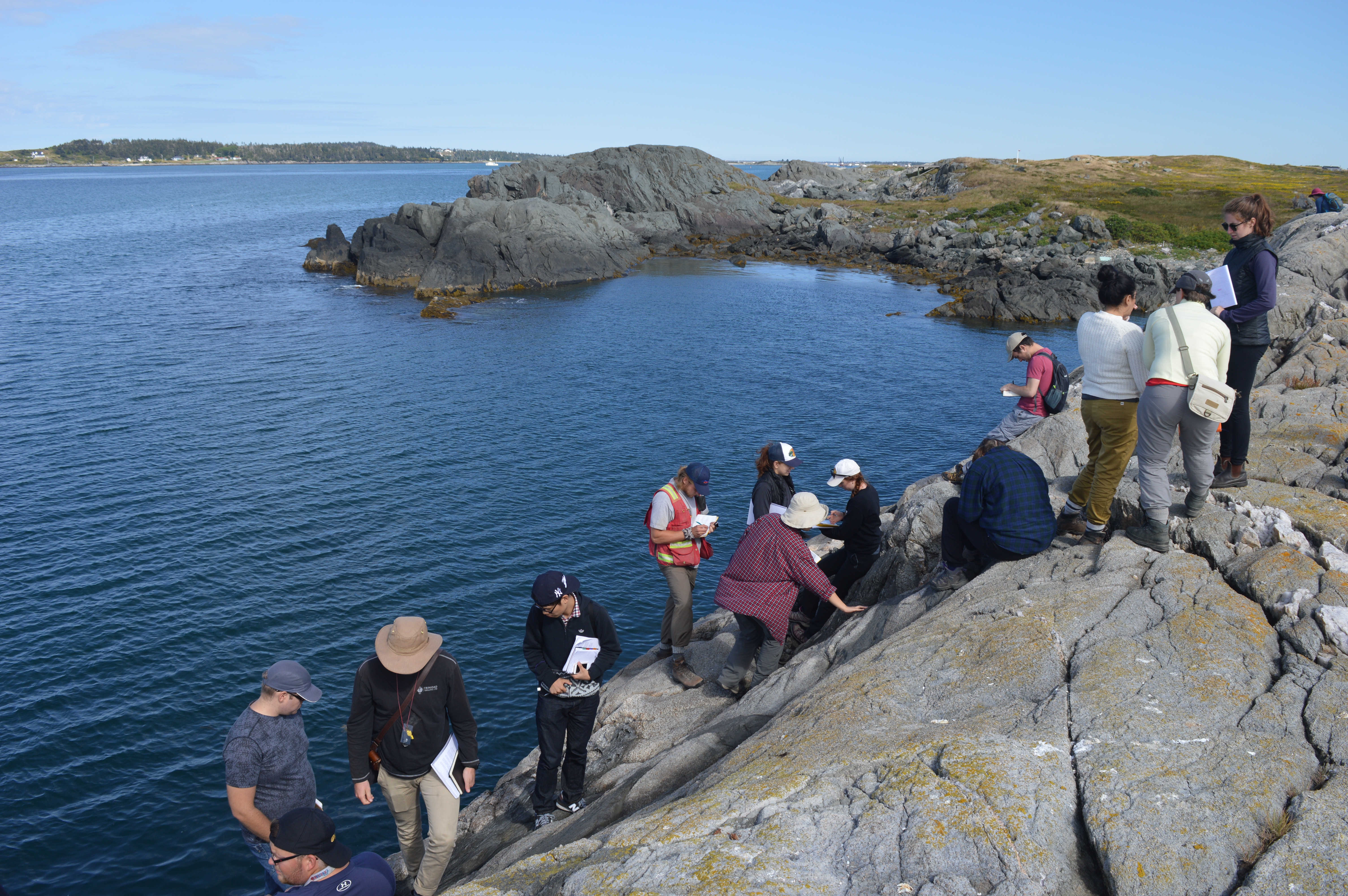
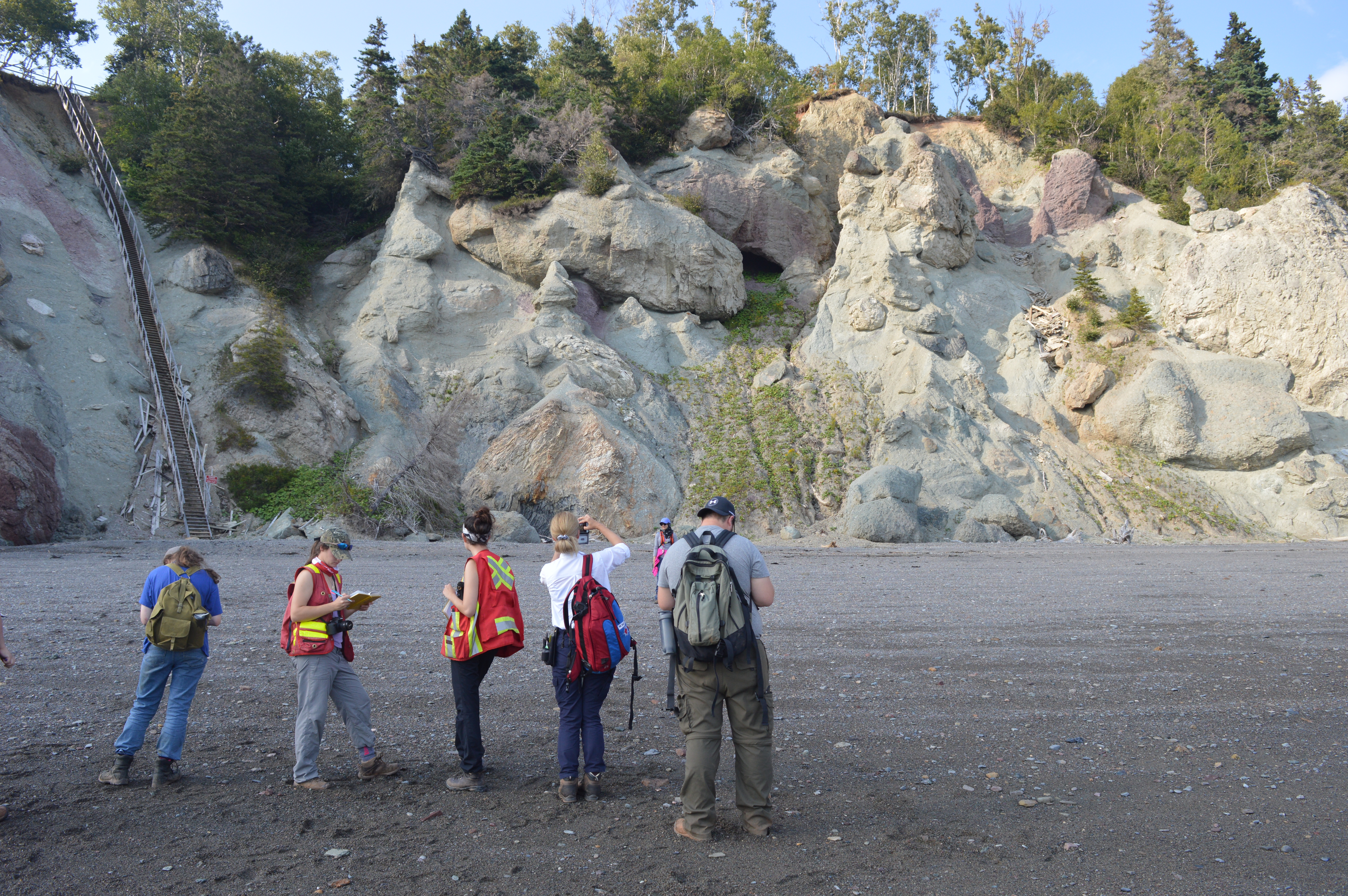
This course is held in early September each year. In Maritime Canada, the trip encompasses the Opening of Iapetus Ocean, represented by the passive margin succession of the Meguma Group, and including various volcanic island arc volcano-sedimentary successions. The Acadian Orogeny is represented by major granite plutons (South Mountain Batholith) and attendant thermal metamorphic aureole. A post-orogenic Mississippian strike-slip basin is represented by evaporites and limestones of the Windsor Group, and by lacustrine deposits of the Horton Group. A Pennsylvanian strike-slip basin is represented by the Boss Point and Joggins formations. Late Triassic Rift basins related to early Atlantic opening are represented by playa-lacustrine-braided river deposits of the Wolfville and Blomidon formations. Triassic axial and marginal alluvial fan systems are also seen in New Brunswick in the context of complex compressive-extensional fault reactivation and unconformity development near St. Martins. Earliest Jurassic rift-related basaltic vulcanism is represented by several hundred metres of stacked lava flows of the North Mountain Basalt, see north of Wolfville N.S. and at Five Islands, N.S. The Minas Geofracture (plate-scale strike-slip fault zone) that separates the N American (Avalon Terrane) from Gondwana (Meguma Terrane) is seen near Parrsboro N.S., including exotic mega-blocks of deep crustal rocks. The effects of strike-slip transpression are also seen in paleo-earthquake features in Pennsylvanian strata and in an inverted stratigraphic succession seen in a flower structure near Saint John N.B., and in recumbent folds and thrusts near Tynemouth Creek, N.B. Precambrian gneissic basement underlying Cambrian sediments are seen in Saint John. Every stop (about 25 in total) involves observation and description of the rocks on hand, followed by local and ‘big-picture’ interpretations. Local mapping exercises are conducted in at least three localities, involving structural/sedimentary relationships, graphic logging and intrusive-host rock mapping.
Click here to view the course syllabus
*Cross-listed as graduate course EarthSci 4450Y
Fees and Registration:
Not being offered 2026 - 2027
$XXX Deposit due by XXX
Payments can be made here
Photos from the Field